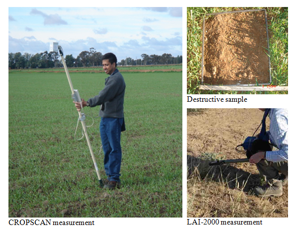
Vegetation Sampling
Vegetation water content (g of water per m2) is an important parameter for modelling land surface emission and backscatter at L-band. Therefore, destructive vegetation samples were collected at various locations in the study area, with the aim to characterize all the vegetation types present. Surface spectral reflectance and leaf area data are valuable in developing methods to estimate the vegetation water content and other canopy variables over large areas. Spectral observations were made concurrent with biomass sampling in order to provide the essential information needed for larger scale mapping using aircraft and satellite observations. During SMAPEx, a Multi Spectral Radiometer (MSR) developed by CROPSCAN was used. Note that the MSR bands used coincide with the MODIS instrument. Leaf area was measured using a LAI-2000.
Vegetation sampling was concentrated in the six 3km x 3km focus areas where intensive soil moisture sampling was undertaken. Within each area, the major vegetation types and phonological stages were characterised by making measurements at 5 locations distributed within homogeneous crops/paddocks. At each location, measurements consisted of 1 destructive sample, 54 LAI and 25 CROPSCAN readings. LAI and CROPSCAN were then averaged, after quality control, into a single LAI and CROPSCAN reading per location. Additional observations at each location included plant height as well as crop row spacing and direction and plant spacing in crops. Complete details on the vegetation sampling strategy and protocols can be found in the SMAPEx-2 workplan and workplan addendum.
The vegetation sampling was performed by a dedicated team. The schedule was based on the soil moisture sampling strategy but slightly changed due to logistic constraints. Note that this vegetation sampling strategy was based on the assumption that vegetation changes during the 1-week campaign period should be minimal.Vegetation sampling schedule
Focus area
Vegetation type
Date sampled
Nr.
measurementsYA4
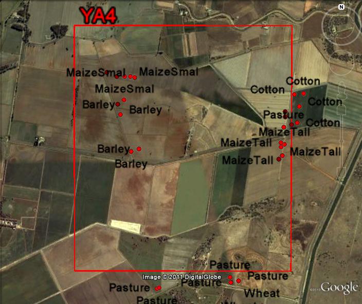
Maize (short)
04/12
5 (steam)+ 5 (leaves) YA4
Pasture type 1
05/12
2 YA4
Pasture type 2
05/12
3 YA4
Cotton
05/12
5 YA4
Barley
05/12
5 YA4
Maize (long)
07/12
2 (steam)+ 2 (leaves) YA4
Pasture type 3
08/12
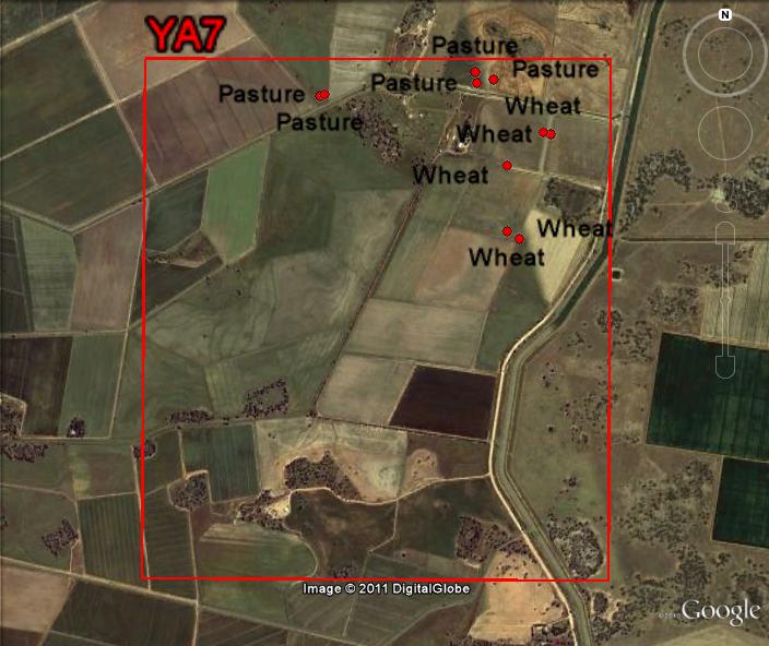
3 YA7
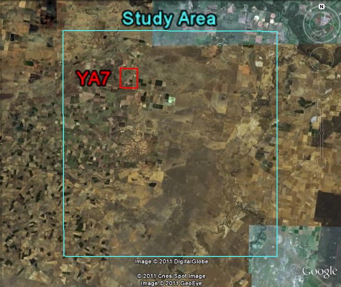
Wheat
04/12
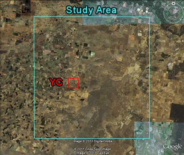
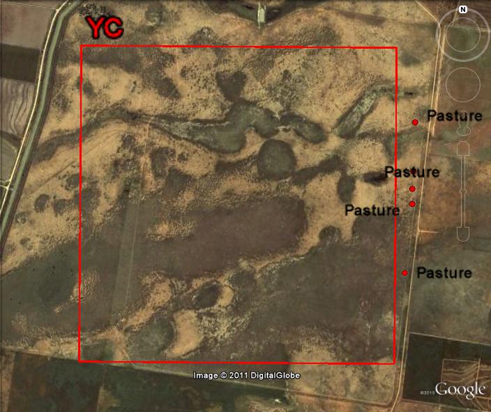
5 YC
Pasture
08/12
5 YD
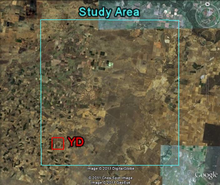
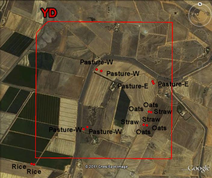
Pasture type 1
06/12
4 YD
Pasture type 2
06/12
2 YD
Rice
06/12
2 YD
Oats
06/12
4 YD
Straw
06/12
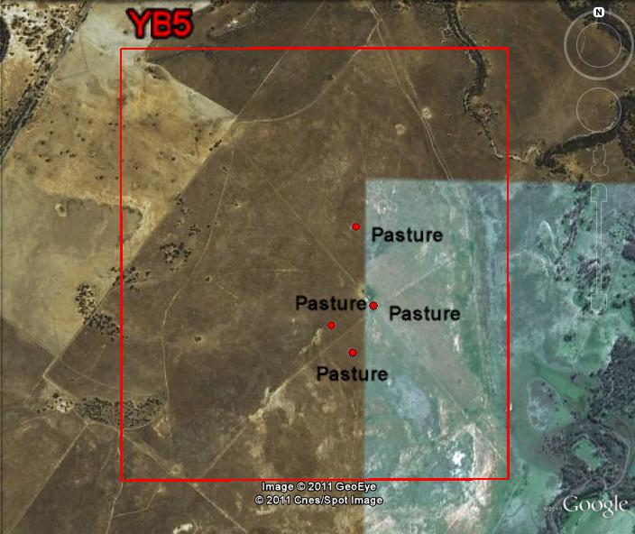
(NL) YB5
Pasture
07/12
4 (NC, NL) (NC) = No CROPSCAN measurements taken
(NL) = No LAI taken
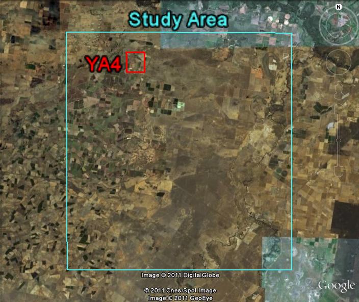
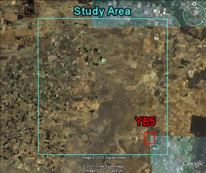
Locations of Vegetation Sampling Sites
The locations of the vegetation sampling sites are shown below for each focus area. Users can download all data via the Download Centre.